
Walking Guides
The Dedham Vale National Landscape and the Stour Valley have some of the most appealing landscapes for walking, from leisurely strolls to keen hiking, and are a fantastic way to really get to know and explore the area at a pace that will help you see wildlife and also boost your health and wellbeing!
Explore the landscapes that inspired some of the most renowned artists, from Constable to Gainsborough, on two feet at your own pace.
You can often use public transport to arrive at the start of a walk. Our free to download leaflets offer a range of circular walks, and are listed below in alphabetical order. We recommend you use our leaflets alongside the relevant OS map (noted in each guide).
Short Circular Walks
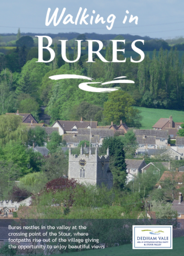
Walking in Bures (PDF)
Bures nestles in the valley at the crossing point of the Stour, where footpaths rise out of the village giving the opportunity to enjoy beautiful views.
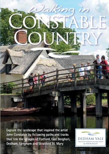
Walking in Constable Country (PDF)
Explore the landscape that inspired the artist John Constable around Flatford, East Bergholt, Dedham, Langham and Stratford St Mary. Sponsored by Discover Suffolk.
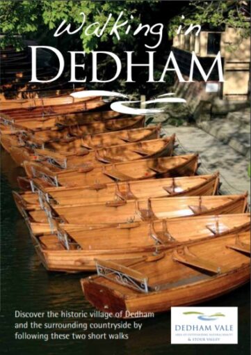
Walking in Dedham (PDF)
Discover the historic village of Dedham and surrounding countryside on these two walks. Sponsored by Discover Suffolk.
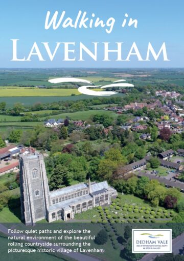
Walking in Lavenham (PDF)
Two circular walks exploring the countryside around the historic Wool Town of Lavenham.
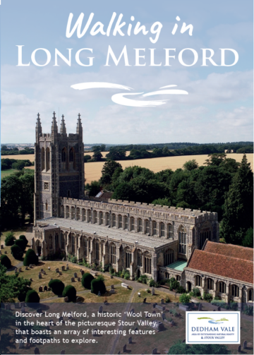
Walking in Long Melford (PDF)
Two circular walks exploring the picturesque and historic surroundings of Long Melford.
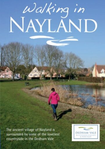
Walking in Nayland (PDF)
The ancient village of Nayland is surrounded by some of the loveliest countryside in the Dedham Vale. Sponsored by Discover Suffolk, with additional support from Gladwins.
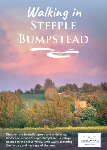
Walking in Steeple Bumpstead (PDF)
Two circular walks through the scenic and undulating countryside around Steeple Bumpstead.
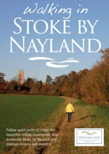
Walking in Stoke by Nayland (PDF)
Discover history and mystery in the beautiful countryside that surrounds Stoke by Nayland. Sponsored by Discover Suffolk, with additional support from The Crown Inn.
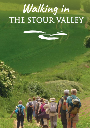
Walking in the Stour Valley (PDF)
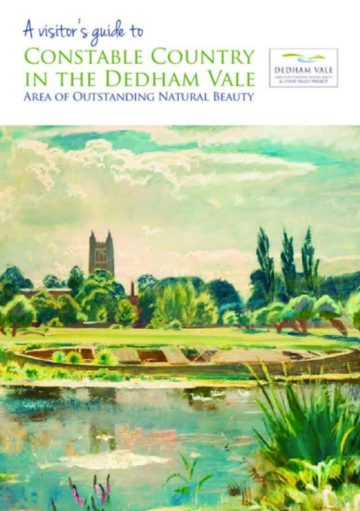
Constable Country (PDF)
A visitor’s guide to Constable Country in the Dedham Vale National Landscape.
Explore the picturesque historic Wool Town of Lavenham, and it's surrounding countryside!
Managing a Masterpiece
These walks are only available for download.
Chappel Station to Bures Station
(6-7 miles)
Sudbury Station to Bures Station
(6-7 miles)
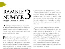
(4-5 miles)
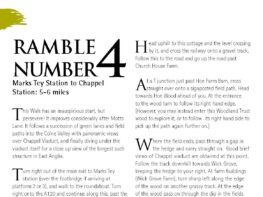
Marks Tey Station to Chappel Station v1
(5-6 miles)
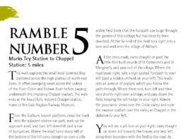
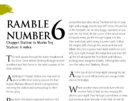
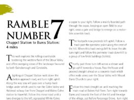
Chappel Station to Bures Station
(4 miles)
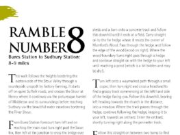
Bures Station to Sudbury Station
(8-9 miles)
Walks Off the Stour Valley Path
These walks are only available for download.
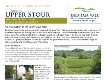
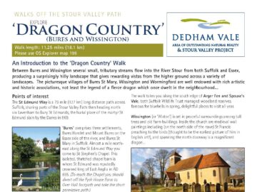
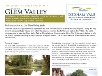
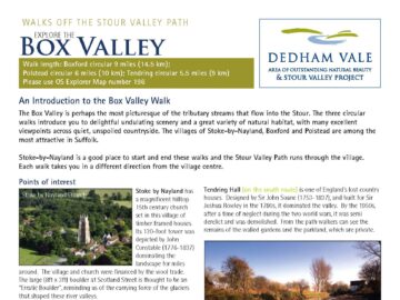
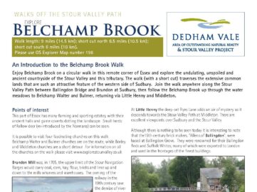
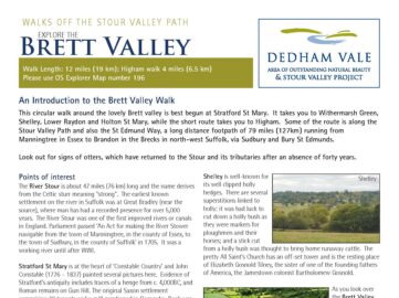
Leavenheath - circular walks x 4 - 2015
These walks are only available for download.
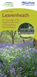
Full leaflet, 4 pages (PDF)
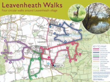
Map only (PDF)
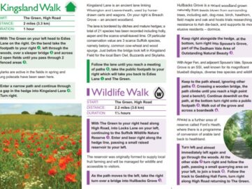
Walk descriptions (PDF)